
Limited Scalability and Consistency of Plantation Inspection and Monitoring
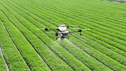
Plantation inspection and monitoring can be difficult to scale across large areas, while manual inspection may not provide timely or consistent coverage. The solution requires field validation to demonstrate sensing accuracy and practical adoption in plantation environments.
Desired Outcome
Autonomous drone platform integrating LiDAR and AI-based sensing/analytics, with edge computing for field inference and validation against plantation inspection use cases.
Potential Impact
By pairing autonomous drone deployment with LiDAR, computer vision, and on-board edge analytics, this solution overcomes the labour constraints and human error inherent in manual plantation scouting, providing rapid, consistent, and centimetre-level canopy surveillance over expansive agricultural estates. Delivering on-device field inference enables estate managers to detect early crop stress, disease outbreaks, and structural anomalies in near-real time without relying on sluggish rural cellular networks, thereby mitigating harvest losses, optimising input expenditure, and validating an operational blueprint for precision agriculture adoption at scale.