
The Fresh Fruit Bunches Ripness Detection With Location Marker System
The system offers a unique combination of FPV drone technology, AI-based ripeness detection, and precise geolocation mapping, delivering high accuracy at a lower cost than competing solutions. Unlike conventional aerial drones or ground-based tools, it provides faster coverage, real-time actionable insights, and superior efficiency even in challenging plantation conditions. This makes the solution more productive, more affordable, and easier to scale across estates of different sizes.
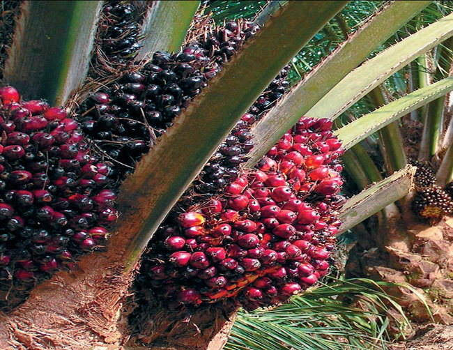
Oil palm plantations continue to face significant inefficiencies in Fresh Fruit Bunch (FFB) harvesting. Approximately 15% of FFB are cut at incorrect ripeness levels—either under-ripe or over-ripe, due to challenges such as tall palm heights (over 5 metres), difficult field terrain, and inconsistent lighting conditions. Harvesters also waste around 30% of their time searching manually for ripe bunches, as the current tree-by-tree inspection process is highly labour-intensive and inefficient. In addition, management lacks periodic, location-specific data, limiting their ability to plan strategically, optimise harvesting cycles, and forecast yields accurately. These combined issues result in lost productivity, reduced crop quality, and avoidable operational costs.
The project uses drones to capture high-resolution footage of oil palm trees, with an AI model identifying ripe Fresh Fruit Bunches (FFB). Georeferencing then marks the precise location of each ripe bunch on the estate map. This provides a faster, more accurate, and scalable method for ripeness detection, reducing labour needs and improving harvesting efficiency.
The project introduces an innovative integration of FPV drone technology with AI-driven ripeness detection and precise geolocation mapping. By combining real-time aerial imaging, advanced computer vision, and geospatial analytics, it replaces manual tree-by-tree inspection with a fully digital, highly accurate, and scalable system. This technological approach modernises plantation operations, improves harvest accuracy, and enables data-driven decision-making that was previously not possible.